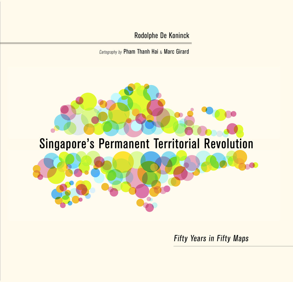
Singapore's Permanent Territorial Revolution: Fifty Years in Fifty Maps
$48.00 SGD
By Rodolphe De Koninck
Cartography by Pham Thanh Hai and Marc Girard
Short-listed: Singapore Book Awards 2018
Ever since Singapore became an independent nation in 1965, its government has been intent on transforming the island’s environment. This has led to a nearly constant overhaul of the landscape, whether still natural or already manmade. Not only are the shape and dimensions of the main island and its subsidiary ones constantly modified so are their relief and hydrology. No stone is left unturned, literally, and, one could add, nor is a single cultural feature, be it a house, a factory, a road or a cemetery. Given one of Singapore’s unique features, namely that the state is the sole landlord, all types of property in all parts of the island, rural as well as urban, were and remain subject to expropriation, fortunately always with due compensation. This atlas illustrates, essentially through diachronic mapping of the changing distribution of all forms of land use, the universality of what has become a tool of social management. By constantly “replanning” the rules of access to space, the Singaporean State is thus redefining territoriality, even in its minute details. This is one reason it has been able to consolidate its control over civil society, peacefully and to an extent rarely known in history.
“It is a must-read for not only developmental specialists, economists and political scientists but also secondary and university students to better understand the dynamics of how Singapore got to where it is today."
Tay Kheng Soon, Akitek Tenggara
"The effect is unexpected and entirely pleasurable: a coffee table book that makes a theoretical argument.... De Koninck and colleagues make significant strides in explicating Singapore’s historical geography. The book is a labor of tremendous love and energy..."
Majed Akhter, Bijdragen KITLV
“a welcome addition to the library shelves of economists, developmental specialists, historians, geographers and political and social scientists and makes a handy reference tool for secondary and tertiary education students. At this affordable price, the volume should be in every school and university library.” Vivian Forbes, Wuhan University
Rodolphe De Koninck retired in July 2016 from the University of Montreal where he had been Professor of Geography and held the Canada Chair of Asian Research since 2002. Prior to that, from 1970 to 2002, he taught at Laval University in Quebec City.
Pham Thanh Hai is a cartographer and GIS specialist attached to the VTGEO, Institute of Geological Sciences, Vietnam Academy of Science and Technology.
Marc Girard is a cartographer and GIS specialist in the Department of Geography at the University of Montreal.
Publication Year: 2017
168 pages, 286mm x 270mm
130 colour maps, 33 b/w images, 16 b/w maps, 9 tables
Casebound
ISBN: 978-981-4722-35-3, Casebound
NUS Press

